If during your visit to Grand Canyon of the Colorado River, on your journey through the west coast of united states, you are not satisfied with enjoying the incredible views from the viewpoints or the aerial views from a helicopter, but you want some action, you are presented with various options.
One of the most demanded is hiking.
But the first thing to keep in mind is that the hiking trails through the Grand Canyon They are not simple at all.
What's more, from the body of the National Park It is strongly discouraged to try to go down to the river and go up again in a single day.
I remind you that the depth of the canyon is 1.600 meters, and the slopes are very steep.
To this we must add in summer the effects of the high temperatures which is usually at river level, and in winter, the rigors of the cold due to the height of the North and South edges.
All the information in detail
Hiking trails in the Grand Canyon of the Colorado
There are numerous hiking excursions already established, both from the South Rim as from the North Rim, but there are two that are the most interesting and popular among visitors to the Grand Canyon.

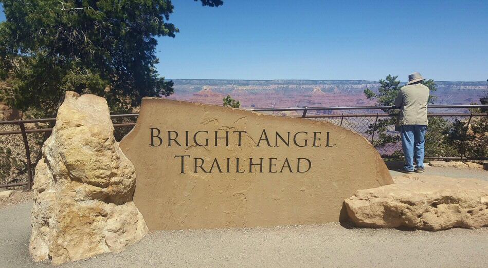
What the Bright Angel Route is like in the Grand Canyon
The so-called Bright Angel It is a ring road that, with a length of 19 kilometers, has the advantage that it offers large areas of shade and in several places you can find drinking water.
It departs from the motel of the same name, next to which there is also the mule corral for the mule excursions through the canyon.
It was originally a route used by the Indians Havasupai to go from the South Rim to the so-called Indian Garden, an oasis with perennial waters located 900 meters below the height of the canyon rim which, halfway, is the furthest point of the route.
What is the South Kaibab Route in the Grand Canyon like?
Other most popular route It is called South Kaibab.
It is a shorter route than Bright Angel, 9 kilometers long, and is highly advisable if you want enjoy the best views of the Grand Canyon.
On the other hand, it has the disadvantage that there is hardly any shade and, furthermore, not being able to find drinking water, so you have to be prepared for these circumstances, especially in summer.
Here you have official information about all the hiking trails in the Grand Canyon, where it is reported that each year about 250 people have to be rescued due to recklessness.


Comment